
Source interpretation
Read imagery, aerial surveys, plans and existing spatial records as one evidence base
Establish source contextCampus Spatial Digital Twin
Interpret architectural photographs, aerial imagery and plans through image cognition and generative spatial engineering, producing a campus asset that remains browsable, editable and continuously maintainable
The platform identifies building form, facade features, road relationships and public-space structure from heterogeneous imagery and plans, then generates, calibrates and organises them within one spatial reference so the resulting environment can support presentation, navigation, enquiry and future service integration
Read imagery, aerial surveys, plans and existing spatial records as one evidence base
Establish source contextPhotographs, aerial imagery and plans capture different scales and viewpoints, leaving occlusions, gaps and temporal inconsistencies that require careful reconciliation
Material preparation, building creation, visual correction and campus assembly move through repeated manual cycles that become costly at portfolio scale
Without a governed object structure and update mechanism, physical change, facility information and service content drift away from the completed scene
As building portfolios grow, source imagery varies in angle, date and clarity while conventional production requires repeated specialist coordination, increasing delivery time and making later updates progressively harder to sustain
The platform understands how heterogeneous sources refer to the same physical environment, generates building content within a shared reference and organises campus entities so the result remains editable, extensible and ready for service use
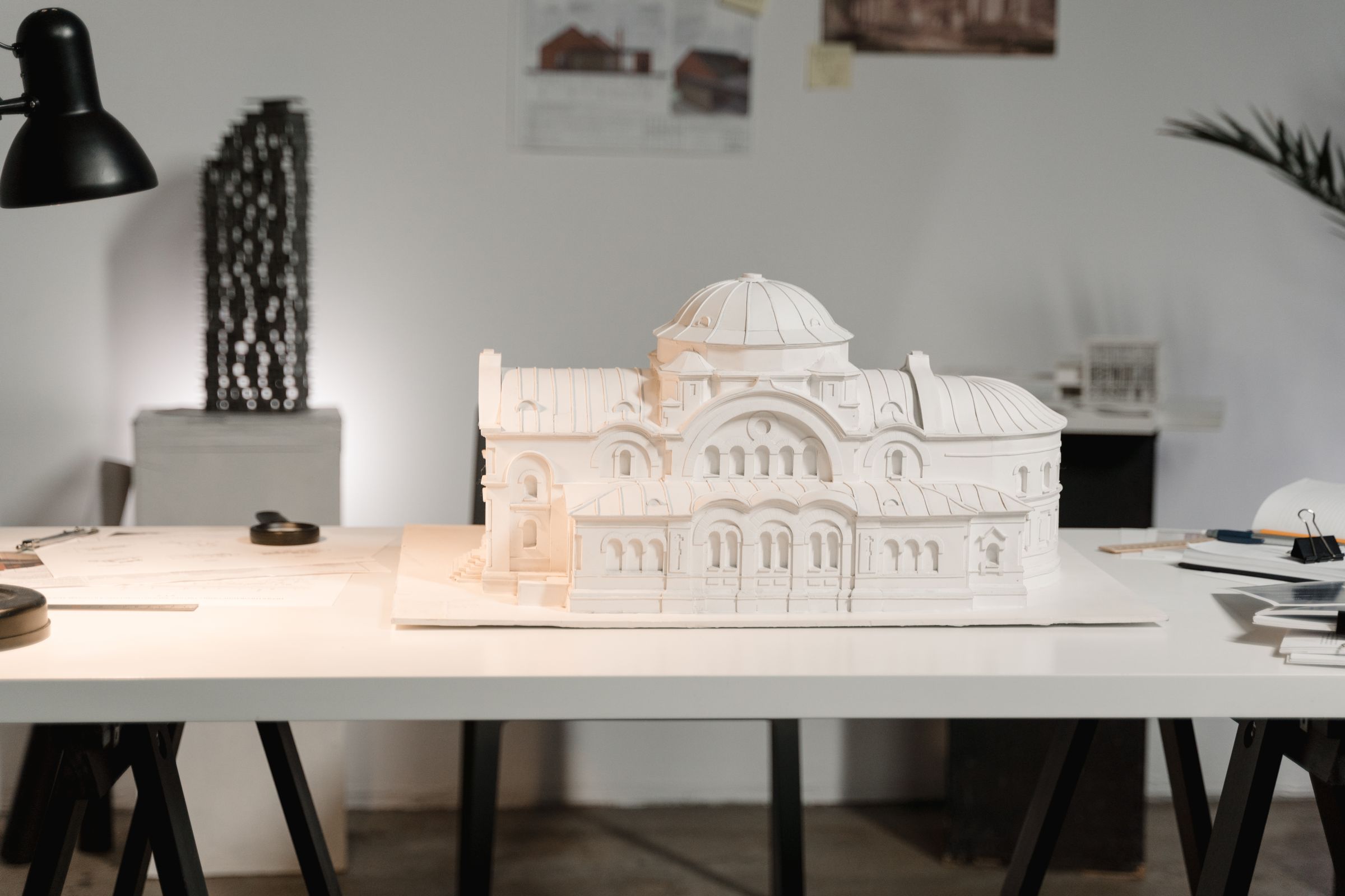
Identify buildings, facade features, road boundaries and public spaces while resolving correspondences across viewpoints
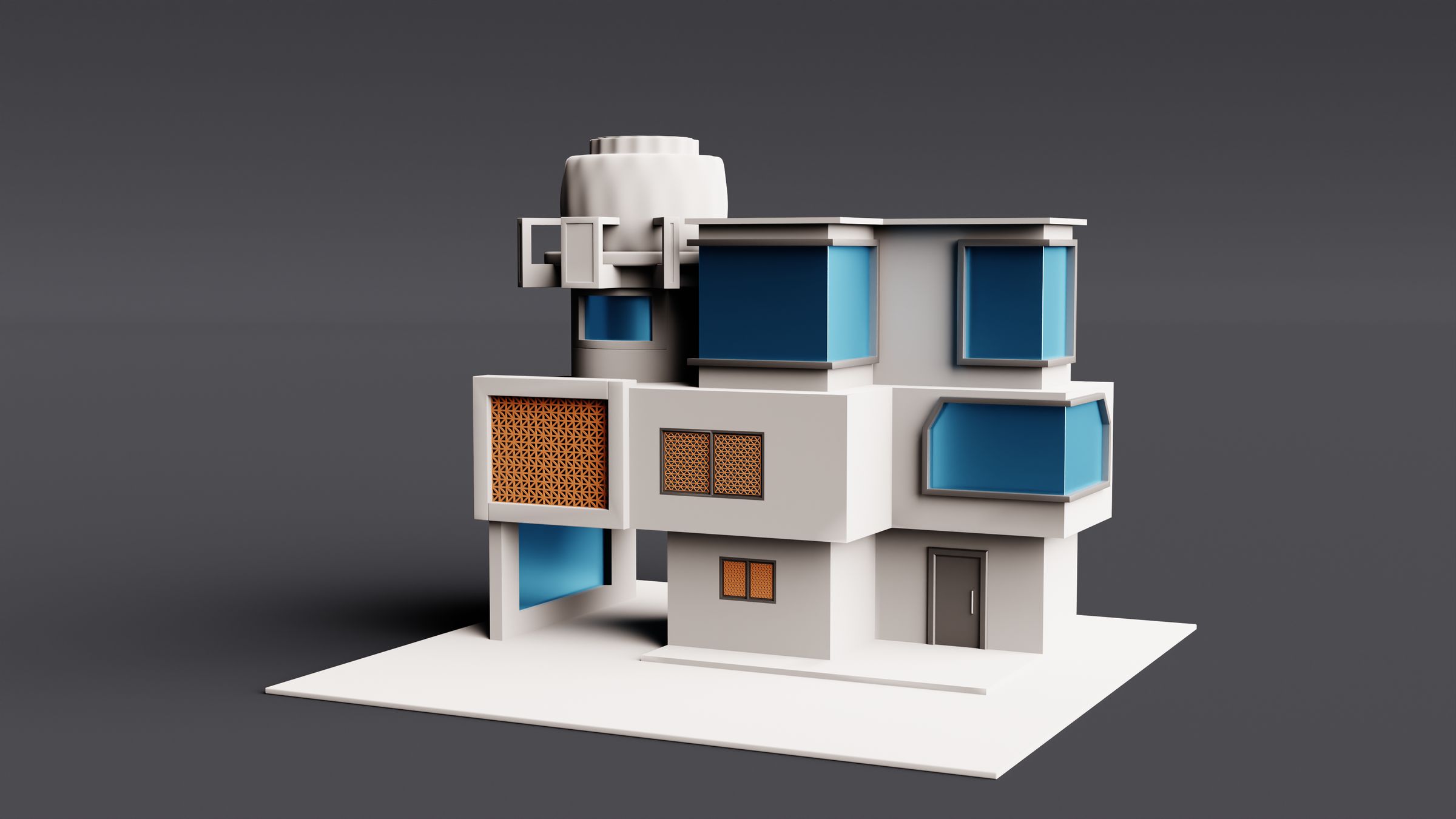
Generate spatial building content from imagery, plan structure and scale, then refine geometry, appearance and campus consistency
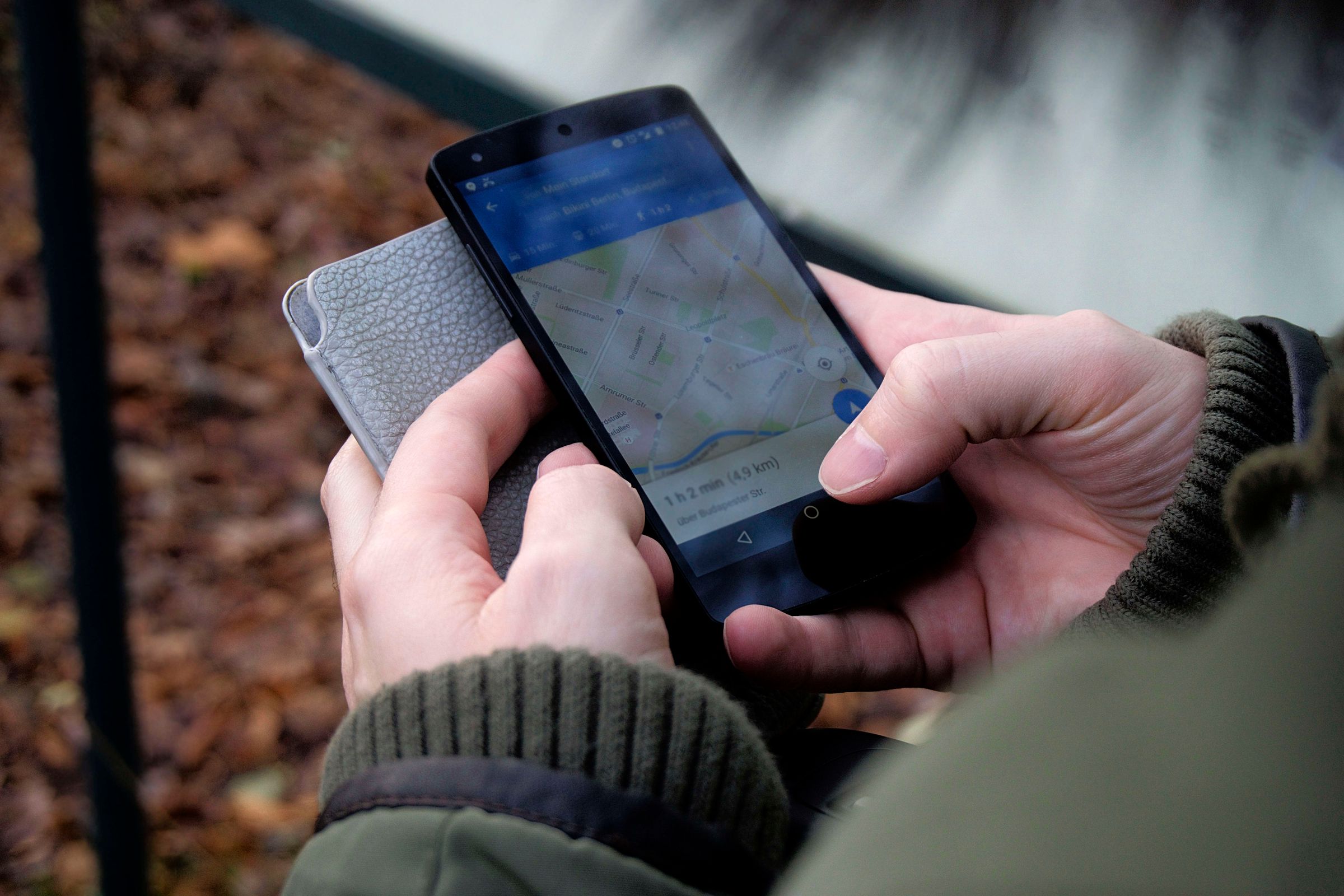
Manage buildings, roads, facilities, routes and business attributes as connected spatial entities for navigation, enquiry and future integration
Sources move through one controlled chain of interpretation, generation, calibration and semantic binding before the environment is published for interaction, while later imagery and physical change return through the same update path
Connect photographs aerial imagery and plans